I have always loved looking at maps. I have combed through more editions of the Rand McNally Road Atlas than I can remember. I couldn’t tell you how many hours of my life I have lost while I have stared, studiously, at the two-page spread corresponding to the greater Los Angeles area; a fair estimate is that it is a lot of hours, give or take.
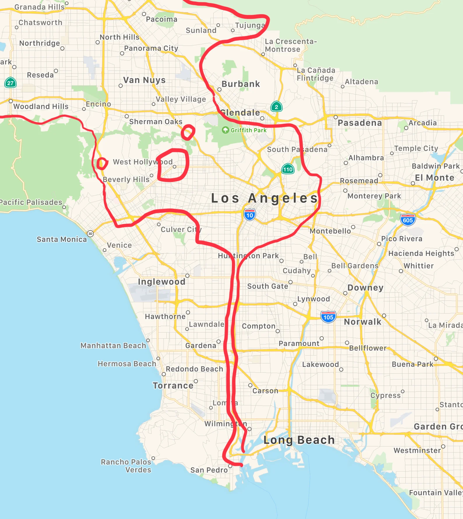
I have learned some interesting things from staring at maps. For example (speaking of L.A.): the Los Angeles city limits include this tiny little sliver, no more than a few blocks wide in places, which allows for the Port of Los Angeles to sit within the city itself; West Hollywood is a separate city (almost) completely surrounded by L.A., but North Hollywood and “regular” Hollywood are simply neighborhoods within the Los Angeles city limits; there is a small area of unincorporated L.A. County sitting in the middle of the Sepulveda Pass, though you would never know it if you were to visit; San Diego annexed the last few miles just north of the US/Mexican border, despite the fact that it is separated from the rest of the city by parts of Imperial Beach, Chula Vista, and National City.1

I have no idea if there is a name for being enamored with maps (Cartophelia? Atlophelia?), but it’s a title I might have to add to my CV.
When I look at the state, county, and city borders in the western third of the United States, I see a lot of big states with many arbitrary straight lines serving as borders. Back East, everything is all curvy and tightly-packed. I suppose that the State-Line-Drawer Dudes simply got lazy as the country expanded westward and folks didn’t bother to divide all of that empty space in places like Wyoming or Nevada into smaller chunks. If it was an eastern state, settled as a British Colony, California would probably be five or six separate states, some with a coastline, some without.

I haven’t spent more than four or five days on the East Coast, and those were spent in and around New York City. Being a Western-States kid, I can’t quite wrap my head around what it would be like to live in New England. I mean this from a purely geographic standpoint; have you seen how small Rhode Island is? Here, I could, literally, drive all day and never cross a state line. There, it would probably take like 5 minutes, give or take.
I had a few friends in college that were from the East Coast/New England, one from Jacksonville, one from Altlanta, one from Rochester, and one from outside of D.C. Just as I couldn’t quite wrap my head around how many states there are on along the Eastern Seaboard, it was weird to them that L.A. and San Francisco are a whole day’s drive apart, let alone that California keeps going for another day’s drive north of San Francisco.

Several years ago, I wrote a long-gone blog post about Staten Island. I wish I still had it—a change of web hosts and content management systems alongside my tendency to hit the “delete” key as often as possible led to some lost writing—as I remember it being kind of funny. Basically, it was this: Take a look at a map of New York City. Why is Staten Island part of New York State, let alone part of the city? You literally have to cut a chunk out of what is clearly New Jersey in order to force Staten Island into New York. (Never mind the fact that N.Y.C. doesn’t really seem to fit within New York State very easily.)
Anyway, if you happen to catch me staring at an atlas, know that I am in one of my “happy places.”

This is nothing compared to Russia’s Kaliningrad Oblast, which is separated from the rest of the country by 750 miles! ↩︎